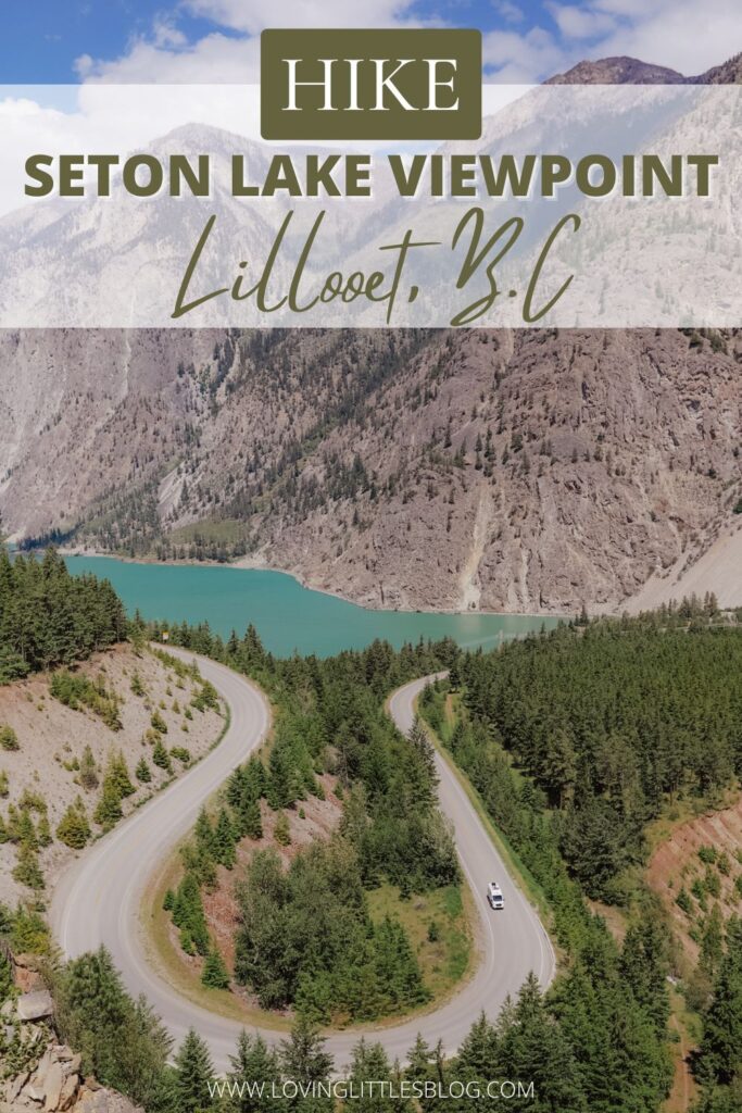
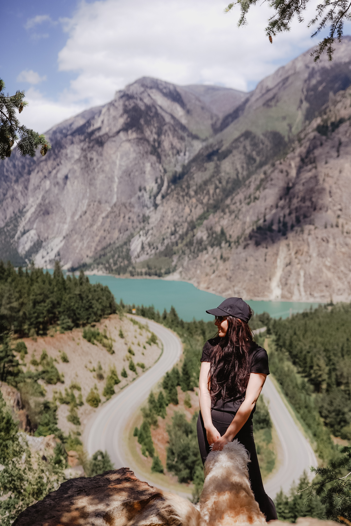
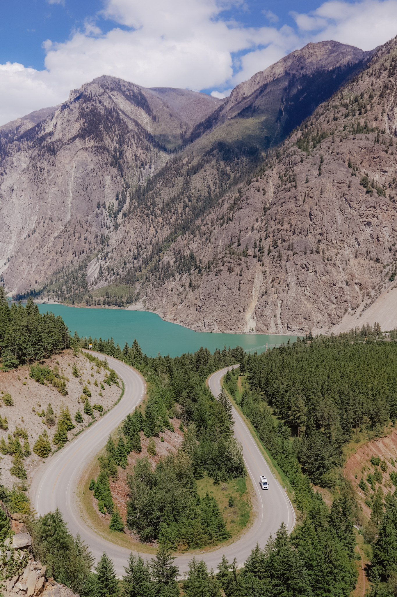
Seton Lake Lookout, it’s been on my bucket list to visit for quite awhile now and you guys I finally could cross it off the list today. You know that feeling, it’s amazing!
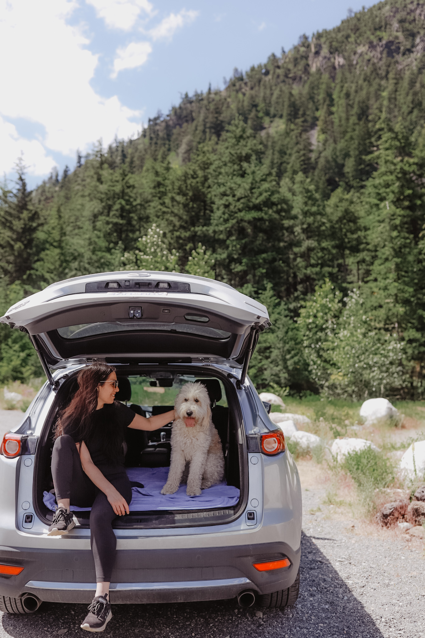
We trekked from Chilliwack to Lillooet and couldn’t have picked a better day. It was absolutely beautiful out, blue skies and bright white clouds. The sky was so clear. Perfect for this viewpoint gem.
For us it came to just about a 3 hour drive, located just outside of the town of Lillooet. It’s easy to find and an even easier hike to do. Taking a whole 30 minutes. With this, I’m here to share with you how to get there and some quick tips on making the most of your visit!
Lillooet B.C
Depending on which way your driving through, Lillooet is a quaint little town just 8 minutes from the hiking location. It offers a winery, restaurants and gas stations. It does have some special little viewpoints and just a neat little place to drive through.
Seton Lake
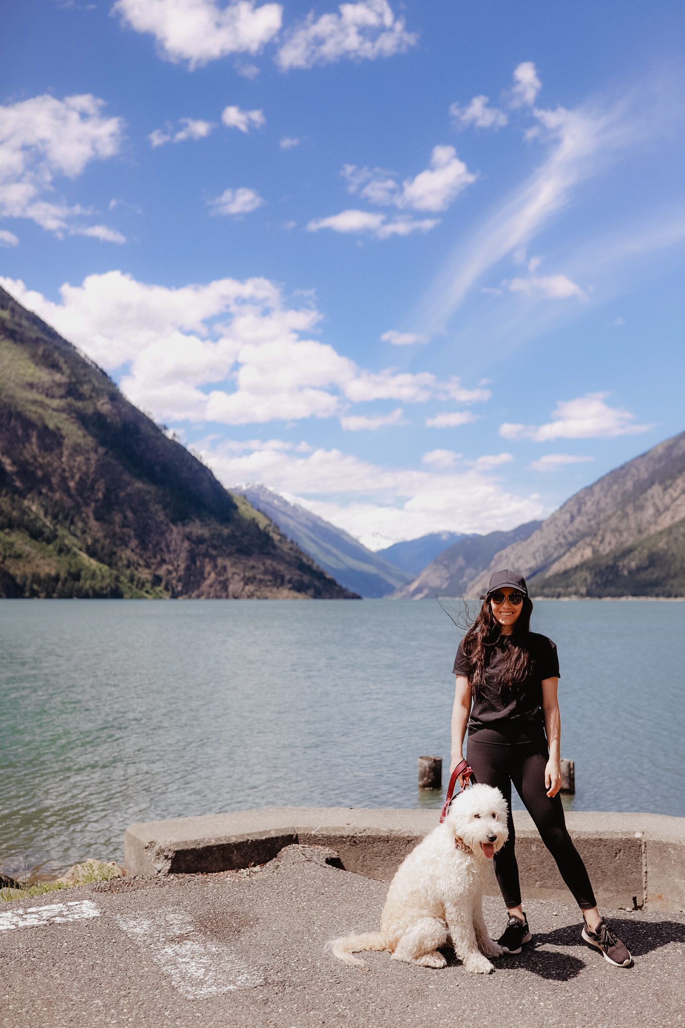
While there I would 100% recommend driving just a minute down the road to turn onto Seton Lake Drive. It takes you down a short road to Seton Lake which is holy moly gorgeous. It really reminds me of a less busy Lake Louise. The water a beautiful turquoise colour, mountains just ranging all around this lake. I loved it. You’ll find picnic tables and a little beachside to chill at. Very easy to find and great for a swim or stretching your legs.
Seton Lake Viewpoint Hike
Located on the U shaped Duffy Road, a symbol that replicates LuluLemons symbol. It can be a bit tricky to find. But honestly once you see it and follow the path you’ll find where you need to go. A short walk with minimal elevation, taking about 30 minutes road trip. Not counting the time you’ll want to spend just sitting watching this view.
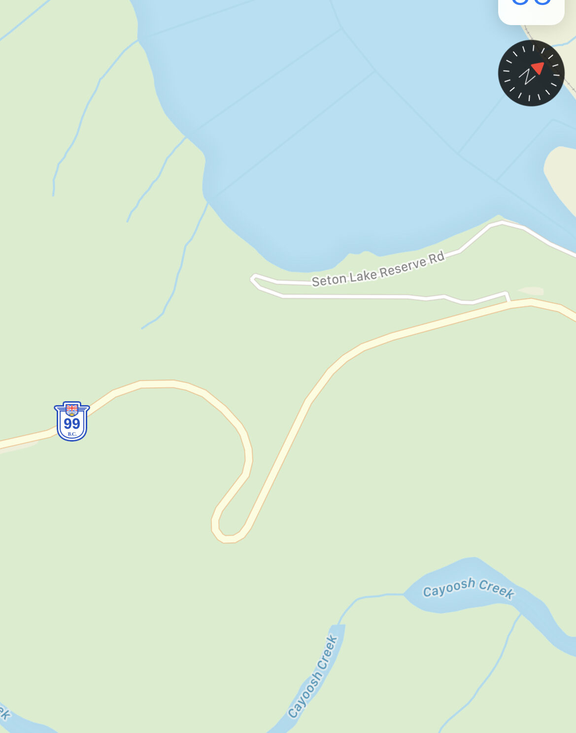
We drove through the u shape from Lillooet side, and parked on the right hand side where you’ll spot a pull out. This hike has no sighs or points to mark it. So you really need to keep an open eye. Once parked you’ll spot across the road a small trail spot leading up a hill. Simply follow that and once you get to the t-point cross road trail, make a left and keep walking up. You will spot lots of rocks, keep caution and follow the rock trail leading to the right. They’re you’ll see it and you won’t want to leave it.
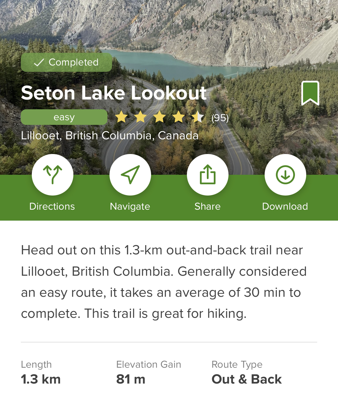
Distance: 1.3km
Elevation gain: 81m
Highest Point: 380m
Time: 30 mins
What To Bring: The hike isn’t overly long or difficult, I wouldn’t bring a ton. But like myself, in case of emergency items would be helpful. Water and camera of course.
Amenities: There are no trash cans, so be sure to keep unwanted garbage with you until you get back to the car. There are also no restrooms in this area.
Dogs: Yes, but be cautious of the cliff and crumbling rocks so I’d be sure to keep your pup close.

This viewpoint is located in the territory of the St’át’imc people.
Keisha lynne, xx